The future of construction processes lies in the introduction and use of Building Information Management or BIM. The life cycle of existing buildings and sites depends on their proper operation. To support the BIM and Facility Management processes, the application of surveying and the creation of a model of reality at a given time is necessary.
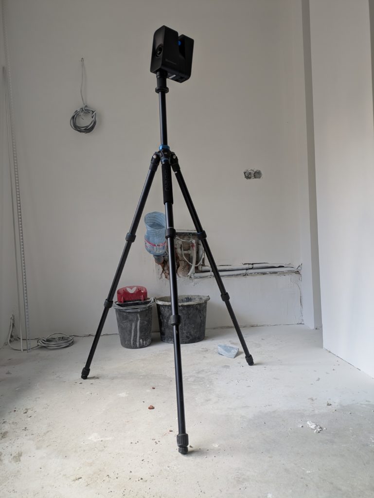
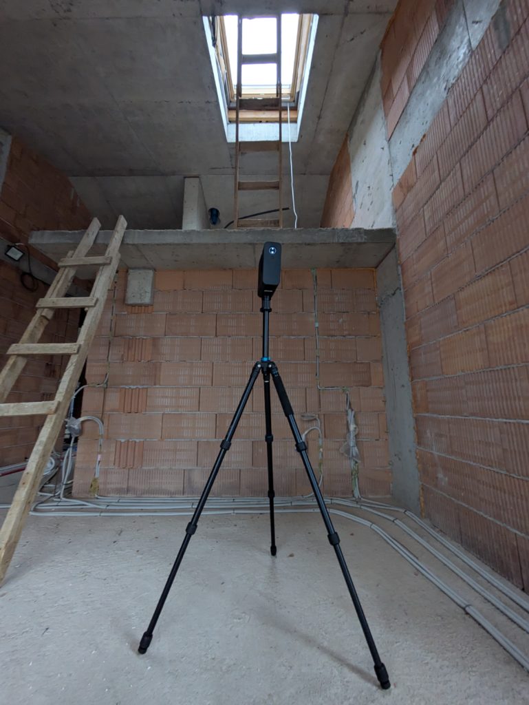
The MAP.ING team offers 3D laser scanning and services related to the creation of three-dimensional models that contain not only geometric information, but also metadata. The output data can be used in specialised construction management software or serve as a basis for reconstruction and upgrading.
What is LOD?
Creating a good collaboration between client and contractor sometimes poses certain challenges. Moreover, teamwork between different specialists created the need to introduce certain rules on how to collect, store and visualize information. The level of detail is one of the most important components when working under the Construction Information Management method. According to buildingSMART there are 5 levels of detail (Level of Development).
The American Institute of Architects understands LOD as Level of Delopment (LOD 100, LOD 200, LOD 300, LOD 400, LOD 500) or the degree of design of a geometric element and its corresponding information (metadata).
In the UK, however, LOD stands for Level of Detail (LOD 1 -7), which is replaced by LODM – Level of Model Definition, which brings together the level of activity of the model (LOD) and the level of metadata (LOI) to it.
LOD 100
LOD 200
LOD 300
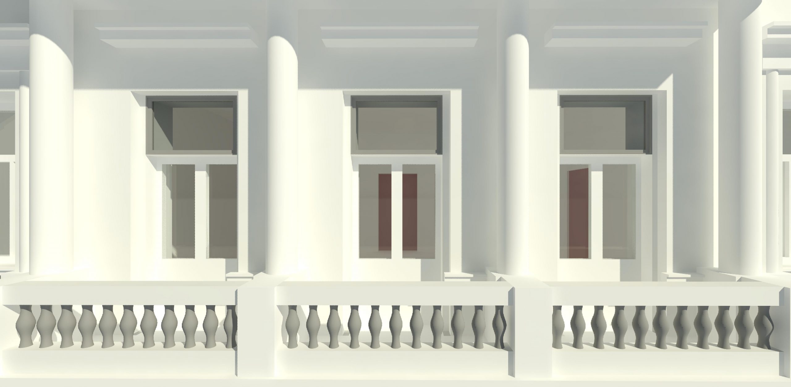
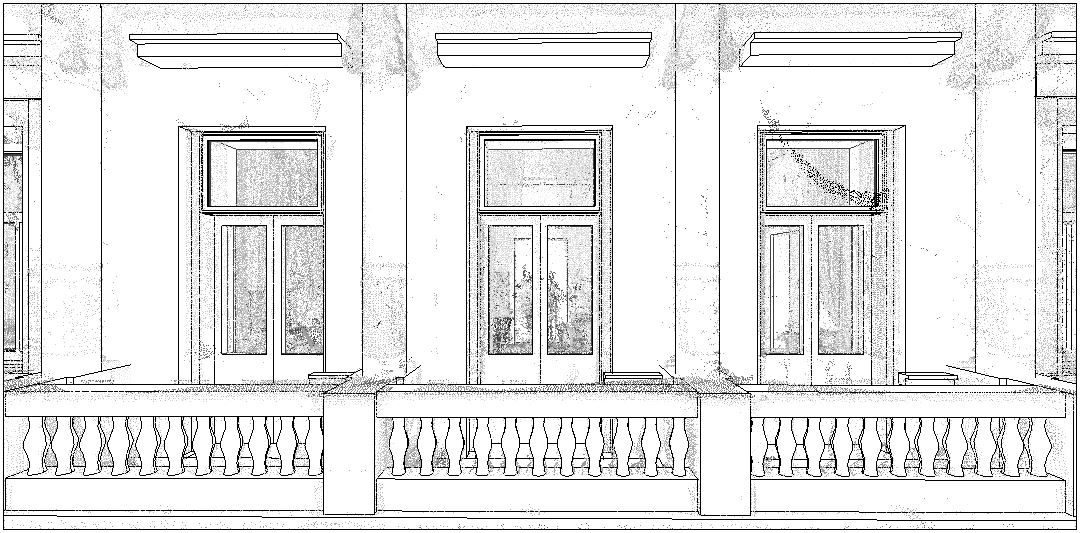
MAP.ING’s services are only related to the creation of instantaneous technical drawings and models of existing objects (LOD 500 or LOD 6). Such models are better known as as-builts. We tailor the level of detail and information of our models to the customer, application and future development opportunities. We organize this kind of collaboration in documents such as EIR and/or BEP.
3D model created for the purpose of HBIM (Historical Building Information Management) as the basis of measurement is a point cloud created by laser scanning.
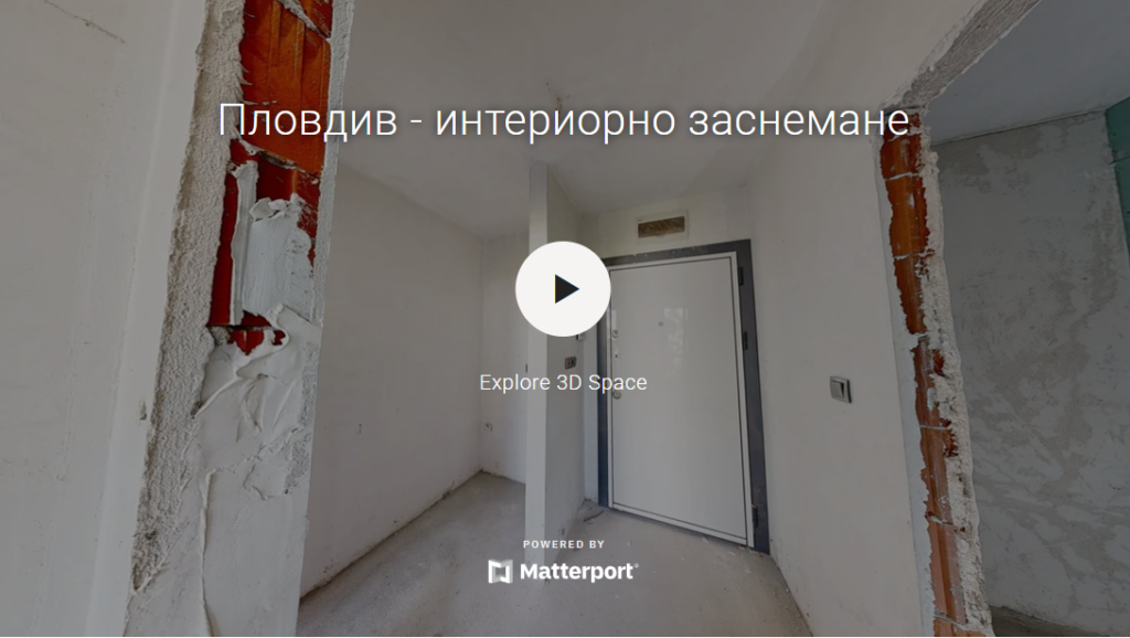
Virtual Tours
We offer to our client added value to their 3D laser scannine by providing a virtual tour. Check out some of our projects:
Contact us!
Interested in colaboration, price offers and just curious about our projects, write us an email: info@map-ing.com or call us: +359 877 846 278