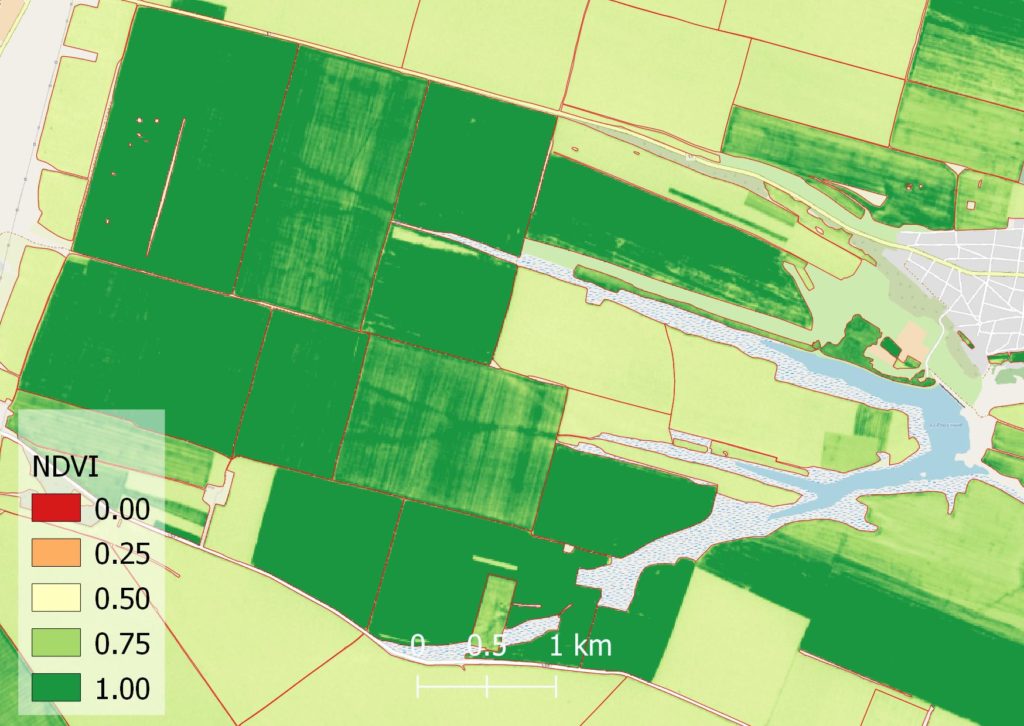
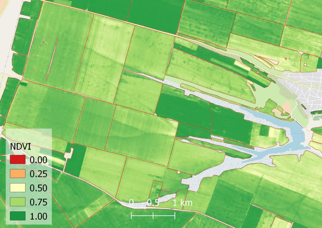
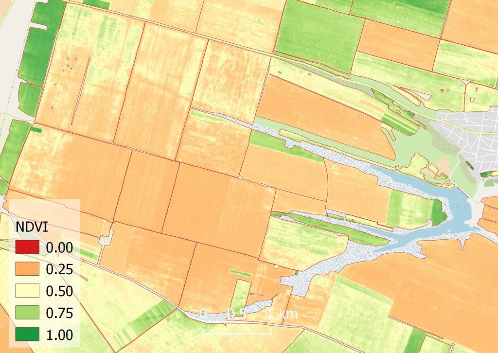
Vegetation indices reflect the condition of agricultural crops. These indices may be different for different types of crops. The most used vegetation index is the normalised vegetation index, the so-called NDVI. For its calculation, the amount of reflected energy is the red and infrared spectrum. Check the example below for soil moisture detection:
Your field is visible even from space. From meter to centimeter resolution, the satellite imagery provide the users with up-to-date spectral information.
In-situ measurements will increase any geospatial model for better land management.
Burnt Area Detection
Mapping burnt area is a classical remote sensing task. You can easily detect any burnt area and predict future actions. Check out our example of a large burnt area near Šibenik, Croatia during 2021.
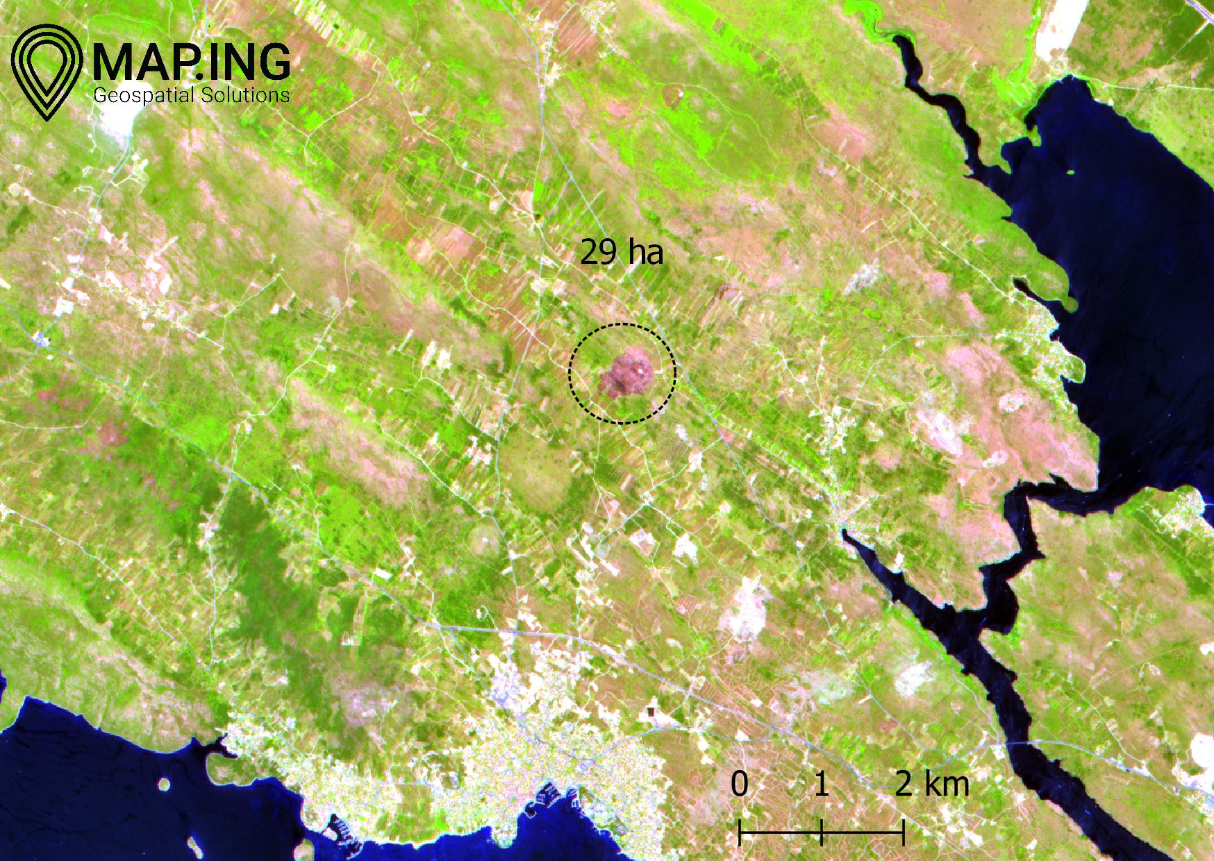
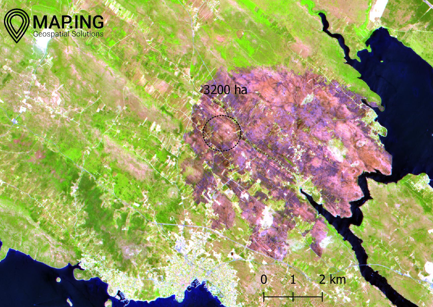
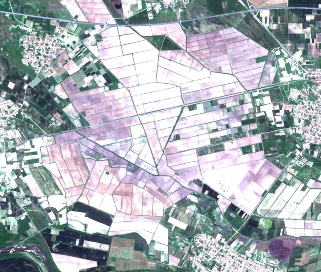
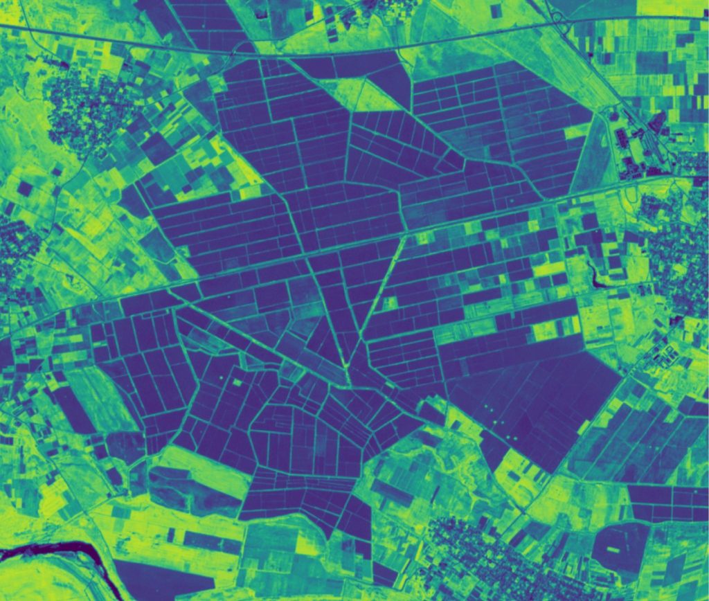
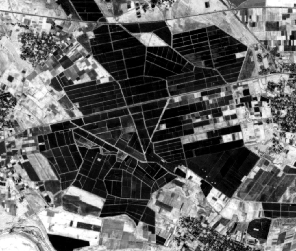
Rice Monitoring
Did you know that only a few European countries cultivate rice? And Bulgaria is one of them. Rice can be monitored from space during its cultivation perido. Check out our example from Plovdiv, Bulgaria.
Interested?
Send us your area of interest and we will take care of it.