

Point clouds · BIM · GIS
GeoBIM Viewer
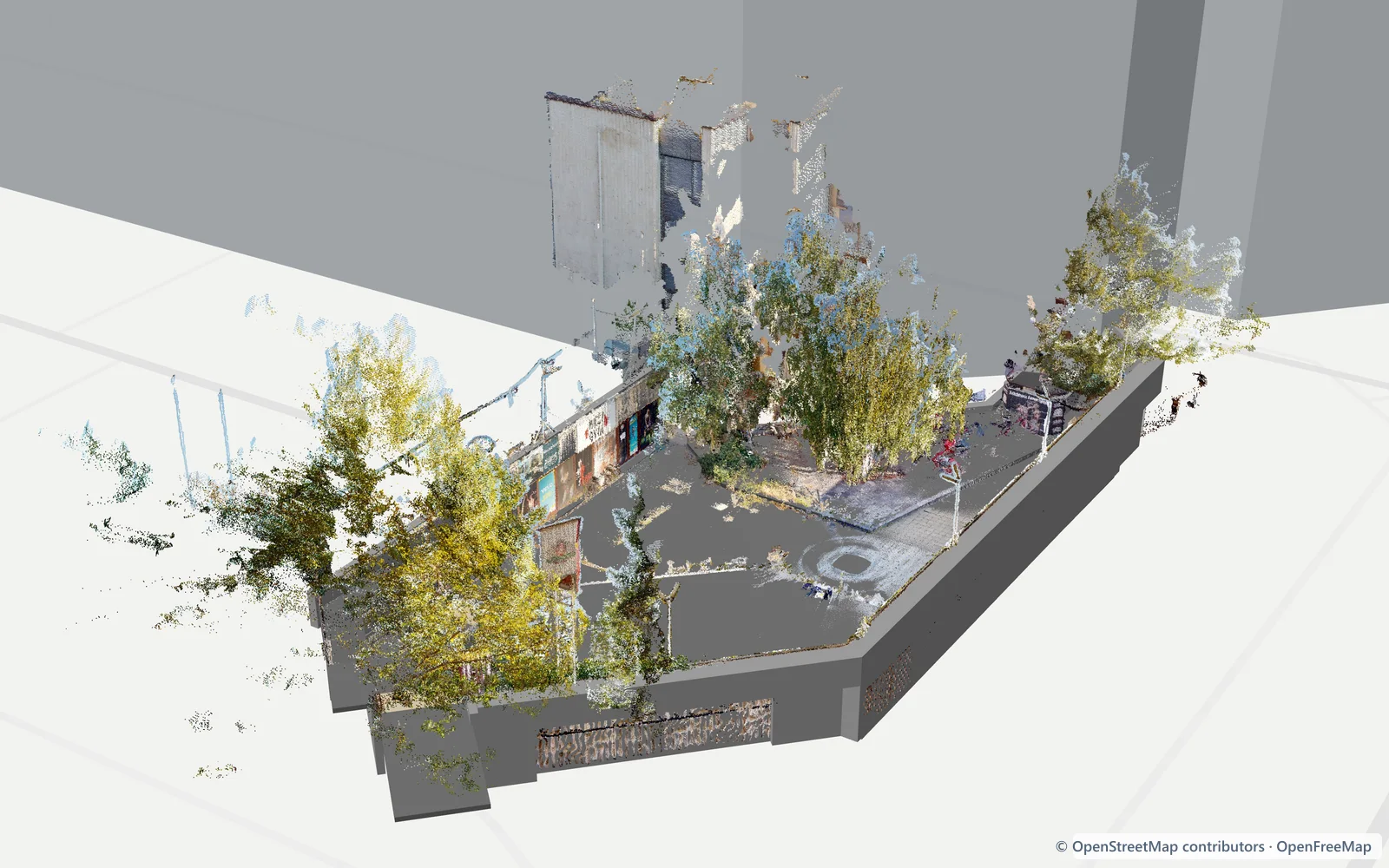
Load a point cloud or a BIM model and see where it sits in the real world. Check the georeference, correct the position by hand and get the exact IfcMapConversion values.
- LAS, LAZ, E57 and IFC (IFC2x3 and IFC4)
- Georeferencing
- Manual placement and georeference export
- Layers by storey and element type
All processing happens locally in your browser — no data is sent to a server.
Open the tool