

Today Troyan celebrates its feast day. To mark the occasion, we show how one of the town's most recognisable buildings — the "St. Paraskeva - Petka" church — became a precise 3D model, an interactive virtual walkthrough and a scale model printed on a 3D printer.
63 laser-scanner positions, millions of measured points and a digital twin that anyone can explore from their phone.
A building almost two centuries old, documented with today's technology
The church was built in 1835 by the master builder Konstantin of Peshtera and is among the great National Revival buildings in the region — a three-nave pseudo-basilica whose dome was added after the Liberation. A building with such history calls for careful and accurate documentation — and this is exactly where geodesy and 3D technologies have something to offer.
How did we capture the church?
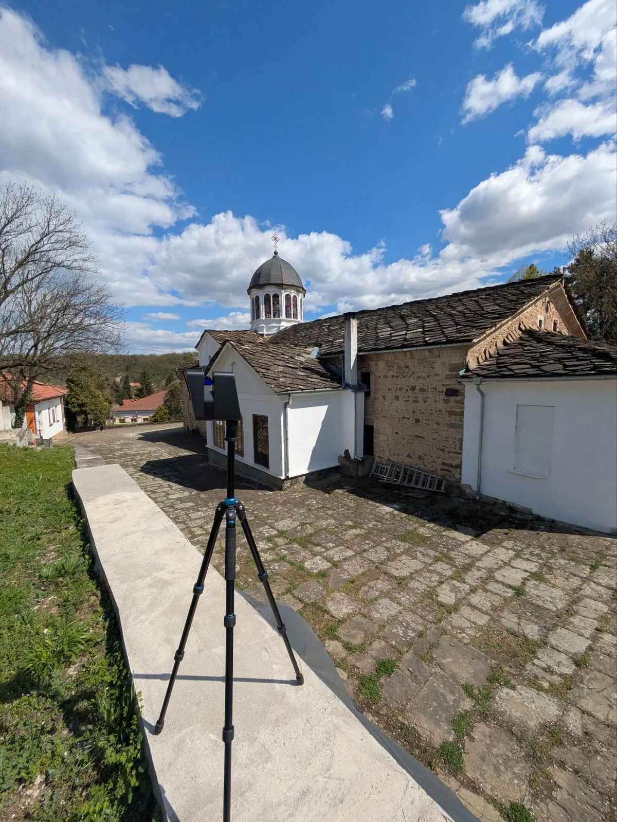
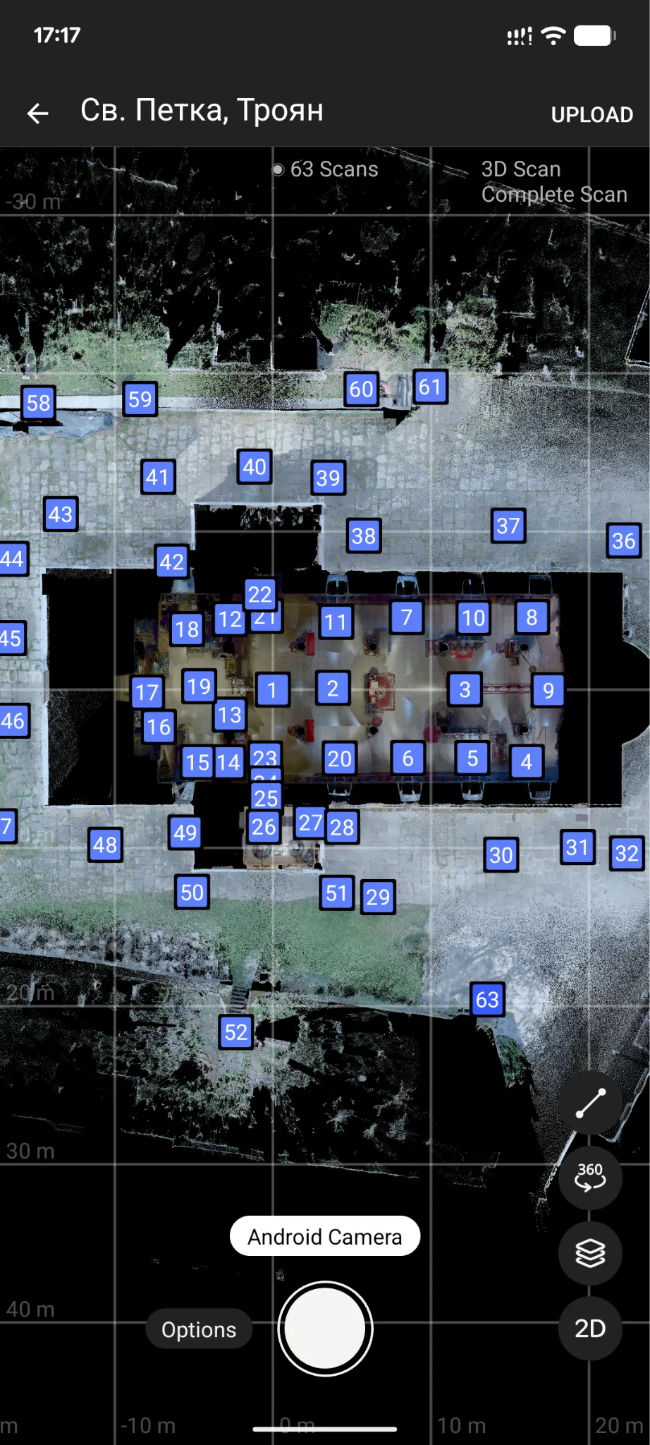
Fig. 1 Laser scanning of the church and the plan of scanner positions in the capture app (April 2026)
In April 2026, the MAP.ING team carried out a 3D laser scan of the church — outside and inside — as part of the diploma thesis "Photogrammetric Capture and Modelling of Church Architecture" by Maria Mitkova-Dahleva, a graduate student at the Department of Photogrammetry and Cartography at UACEG (Sofia).
The scanner was placed successively at 63 positions around and inside the building. From each position it measures hundreds of thousands of points per second and captures a 360° panorama; the individual scans are then merged into a common coordinate system.
The result is a cloud of millions of points — a precise three-dimensional copy of the church's geometry: walls, vaults, dome, interior and the surrounding space. From it one can extract dimensions, sections, façades and plans, and build a 3D or BIM model for study, restoration and preservation of the building.
From the same data we also created a virtual tour — an interactive 3D walkthrough in which you can "enter" the church from your computer or phone, move freely between points, examine details up close and view the whole building from above as a 3D model.
Explore the church in the virtual tour →
What 3D technologies bring to cultural heritage
Laser scanning is contactless — the building is not touched, yet its geometry is measured with millimetre-level accuracy. This is especially valuable for old and sensitive buildings, where every intervention must be carefully weighed.
The data remains as a digital archive of the object's current state — a basis for future measurements, projects and restoration, and, on re-scanning, for tracking changes over time.
For MAP.ING, this is the essence of geospatial technologies — not merely to measure the existing environment, but to create a reliable digital foundation for architects, restorers, institutions and the community to work with.
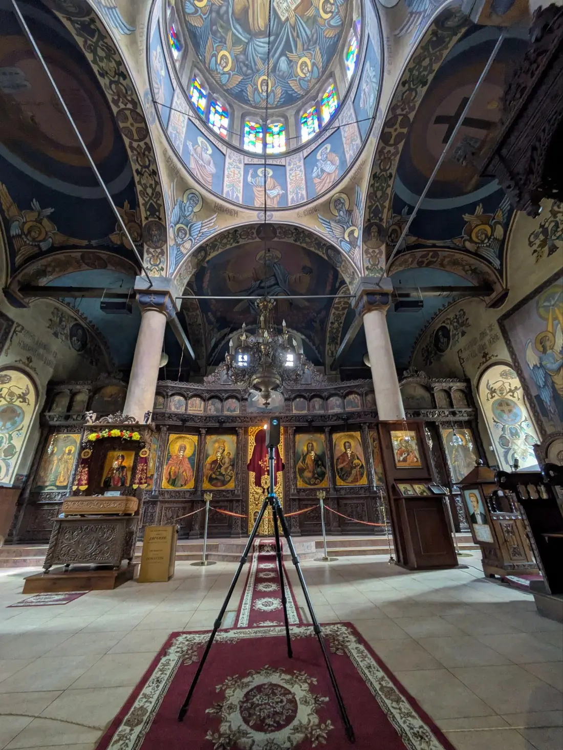
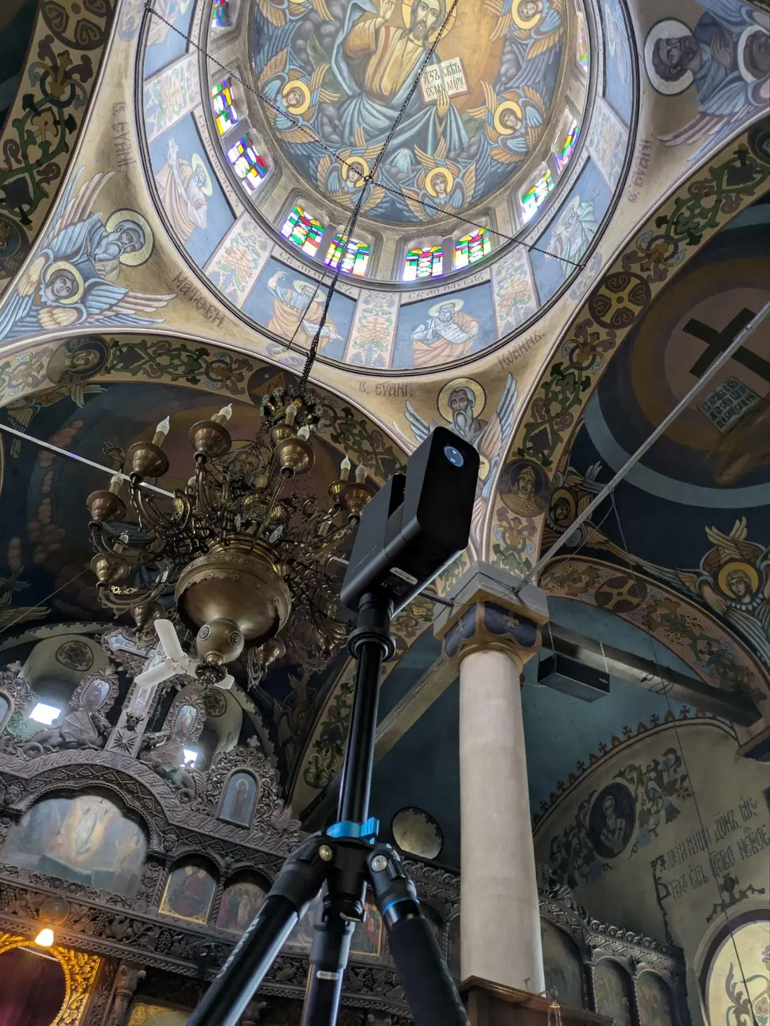
Fig. 2 Scanning the church outside and in the interior (April 2026)
From point cloud to 3D-printed model
The project is part of the diploma thesis of Eng. Maria Mitkova-Dahleva, supervised by Assist. Prof. Dr. Eng. Dobromir Filipov and Dr. Eng. Paulina Raeva.
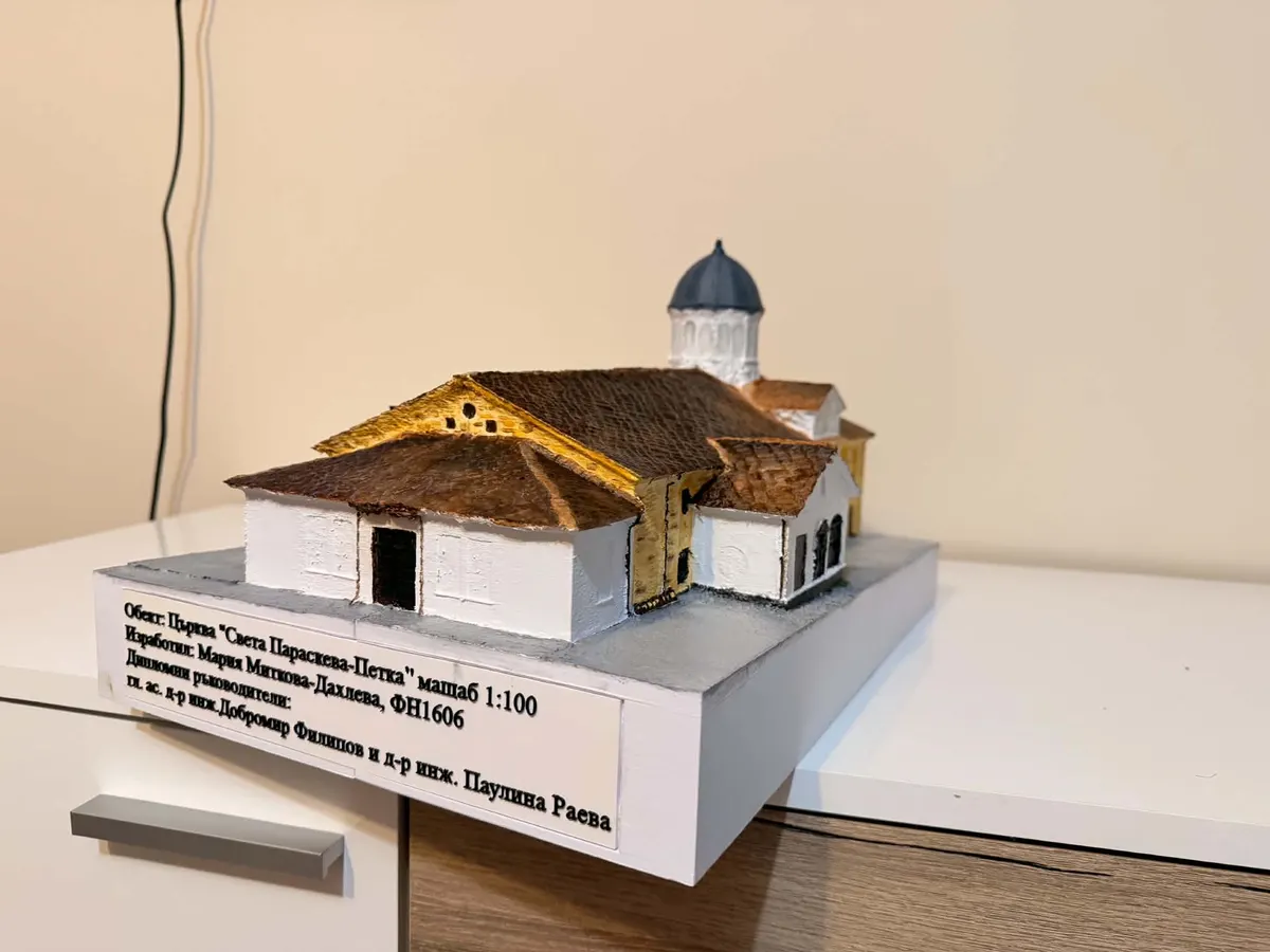
The final step connects the digital and physical worlds: from the resulting digital model, a 1:100 scale model of the church was printed and hand-painted by the graduate. The project thus shows the entire path — from on-site measurement, through the point cloud and 3D model, to a tangible object that can take its place in an exhibition, in education or when presenting projects.
Happy feast day, Troyan!
Do you have a building, site or terrain you would like to document in 3D? Get in touch with the MAP.ING team at office@map-ing.com or on +359 877 846 278 — we will suggest the right technology for your task.